Highlights:
• Rate includes utilities, building services and property expenses
Building Description
Property Overview
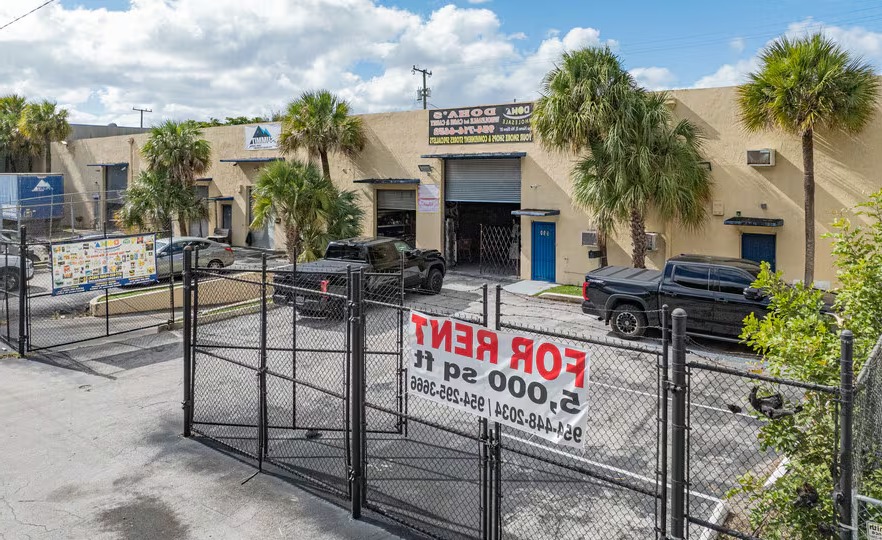
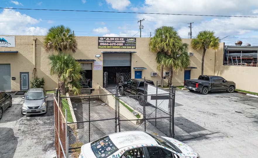
960-990 NW 10th Avenue in Fort Lauderdale offers a 10,000-square-foot industrial operations space for lease, presenting an excellent opportunity for businesses seeking a functional and well-located facility. Boasting 22-foot clear ceiling heights, the space includes 1,000 square feet of fully built-out office space, creating an efficient balance between warehouse and administrative needs. With dock-high loading, two private restrooms, air conditioning, and skylights providing abundant natural light, the space is well-suited for light industrial, distribution, warehousing, or mixed-use operations.
Tenants benefit from dedicated on-site parking and the advantage of being part of a strong industrial corridor alongside established neighbors, including Summit Van Lines, Magic Granite, and South Florida Auto Recycling. The surrounding area offers numerous conveniences, with a variety of retail, dining, and service options nearby. Minutes away is a Presidente Supermarket-anchored shopping plaza featuring Family Dollar, Sunrise Chinese, Metro by T-Mobile, Manor Medical Center, and other everyday services.
With immediate access off W Sunrise Boulevard, a central east-west thoroughfare linking the Jimmy Buffett Memorial Highway to the Sawgrass Expressway, the property provides exceptional connectivity throughout South Florida. Located less than a mile from Interstate 95 and approximately 14 minutes from Fort Lauderdale-Hollywood International Airport (FLL), 960-990 NW 10th Avenue offers excellent regional access for logistics, employees, and customers.
Labor market & logistics
Labor pool (pop)
4,825
Working age 18–64
53%
Median age
29.8
Median income
$23,807
Logistics — drive distance
FLL airport
7.9 mi
MIA airport
33.1 mi
Workforce age
Under 1836%
18–3422%
35–5420%
55+23%
Neighborhood Demographics · Census Tract 041500
Figures for the census tract this property sits in — the immediate surrounding neighborhood (roughly ½–2 sq. mi). For distance‑based totals, see the 1 / 3 / 5‑mile rings below.
4,825
Population
$23,807
Median Household Income
30
Median Age
1,587
Households
$270,300
Median Home Value
Household Income of 1,587 households
<$50k1,126 71%
$50–100k315 20%
$100–150k140 9%
$150k+6 0%
Age of 4,825 residents
Under 181,721 36%
18–341,067 22%
35–54941 20%
55–64510 11%
65+586 12%
Trade-Area Rings · Distance from Property
Everyone living within a straight‑line radius of the property — the classic retail trade area. Each ring is cumulative (the 3‑mile total includes the 1‑mile).
1 Mile
31,556
population
11,072 households
$64,337 avg income
3 Miles
175,813
population
72,308 households
$105,044 avg income
5 Miles
353,346
population
141,015 households
$99,284 avg income
Frontage Traffic vs. Palm Beach County's Busiest Roads
This property fronts NW 10th Ave. Below, its measured daily traffic (FDOT count) is compared to five of the county's busiest roads — I‑95, Florida Turnpike, Okeechobee Blvd, US‑1/Federal Hwy, and Military Trail (approximate peak AADT) — to show how much exposure the location gets.
58,000vehicles / day on NW 10th Ave (AADT)
I‑95 (interstate)255,000
Florida Turnpike95,000
Okeechobee Blvd62,000
◆ NW 10th Ave58,000
US‑1 / Federal Hwy46,000
Military Trail40,000
This frontage carries about 23% of I‑95's volume — strong major‑arterial exposure. County roads shown are approximate peak AADT.
FDOT count stations on NW 10th Ave 58,000 AADT between Bridge No-860126 (2025) 24,000 AADT between BROWARD BLVD and NW 6 ST/SISTRUNK (2025) 23,000 AADT between SR- 838/SUNRISE BLVD (2025) 18,700 AADT between NW 6 ST/SISTRUNK BLV and SUNRISE BLVD/SR-838 (2025)
Risk & Incentives
🌊 Flood Zone X · minimal✓ Not in Flood HazardNot an Opportunity Zone