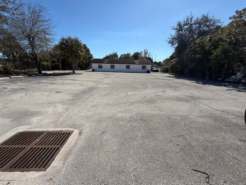
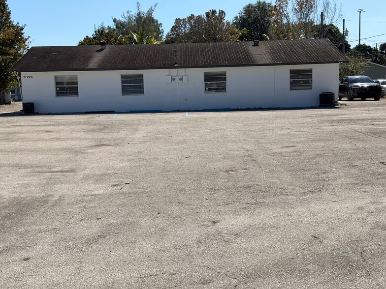
Figures for the census tract this property sits in — the immediate surrounding neighborhood (roughly ½–2 sq. mi). For distance‑based totals, see the 1 / 3 / 5‑mile rings below.
5,963
Population
$37,976
Median Household Income
27
Median Age
1,708
Households
$184,400
Median Home Value
Household Income of 1,708 households
<$50k1,070 63%
$50–100k465 27%
$100–150k162 9%
$150k+11 1%
Age of 5,963 residents
Under 182,131 36%
18–341,684 28%
35–541,607 27%
55–64260 4%
65+281 5%
Trade-Area Rings · Distance from Property
Everyone living within a straight‑line radius of the property — the classic retail trade area. Each ring is cumulative (the 3‑mile total includes the 1‑mile).
1 Mile
12,399
population
3,532 households
$53,499 avg income
3 Miles
125,412
population
49,415 households
$78,041 avg income
5 Miles
286,173
population
110,279 households
$89,430 avg income
Frontage Traffic vs. Palm Beach County's Busiest Roads
This property fronts Westgate Ave. Below, its measured daily traffic (FDOT count) is compared to five of the county's busiest roads — I‑95, Florida Turnpike, Okeechobee Blvd, US‑1/Federal Hwy, and Military Trail (approximate peak AADT) — to show how much exposure the location gets.
70,500vehicles / day on Westgate Ave (AADT)
I‑95 (interstate)255,000
Florida Turnpike95,000
◆ Westgate Ave70,500
Okeechobee Blvd62,000
US‑1 / Federal Hwy46,000
Military Trail40,000
This frontage carries about 28% of I‑95's volume — strong major‑arterial exposure. County roads shown are approximate peak AADT.
FDOT count stations on Westgate Ave 70,500 AADT between SR- 809/MILITARY TR and PALM BCH LAKES BLVD (2025) 34,500 AADT between SR-704/OKEECHOBEE RD (2025) 17,400 AADT between SR-809/MILITARY TRL (2025) 13,200 AADT between SR704/OKEECHOBEE BLV and PALM BEACH LKS BLVD (2025)
Risk & Incentives
🌊 Flood Zone X · minimal✓ Not in Flood HazardNot an Opportunity Zone